the online WayPoint file viewer
View, edit, and create WayPoint files online with advanced route planning capabilities and file processing tools, beautiful maps and detailed data visualizations.
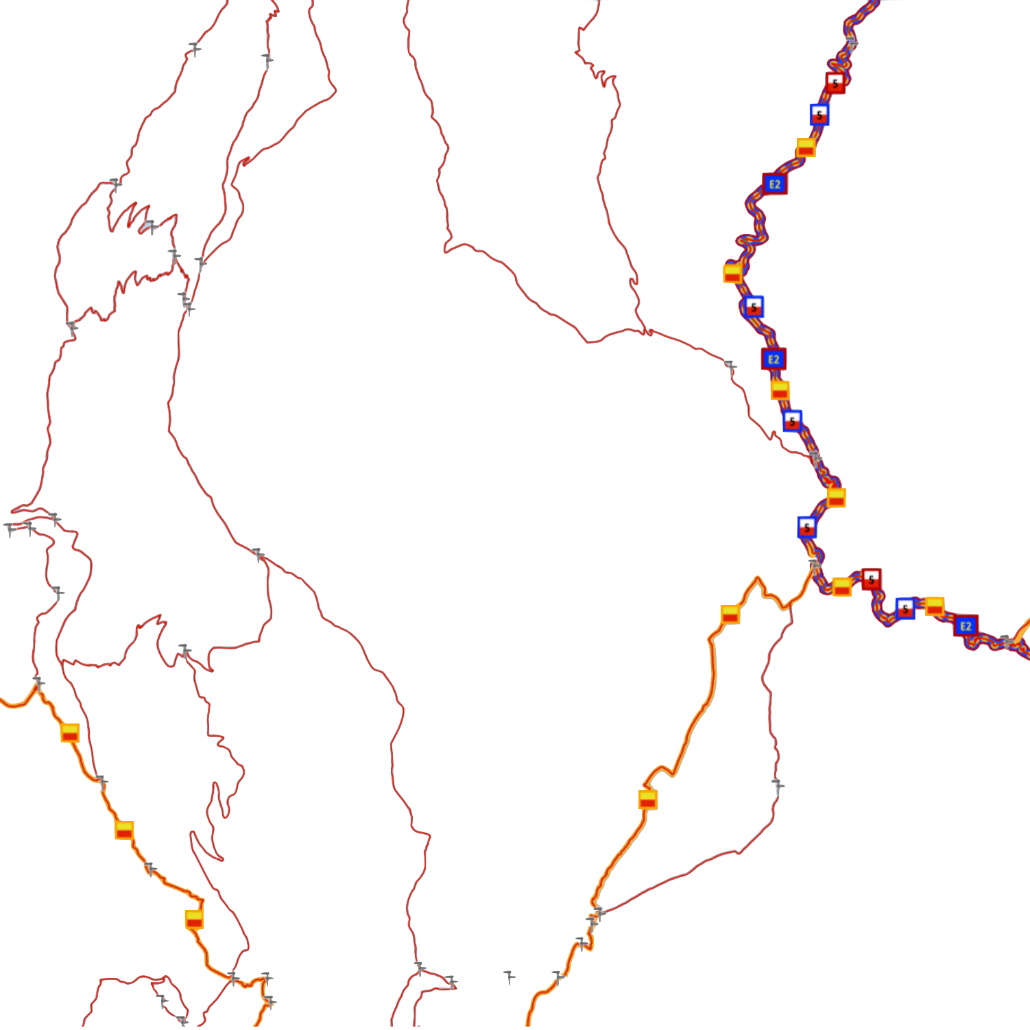
Route planning
An intuitive interface to create itineraries tailored to each sport, based on OpenStreetMap data.
Advanced file processing
A suite of tools for performing all common file processing tasks, and which can be applied to multiple files at once.
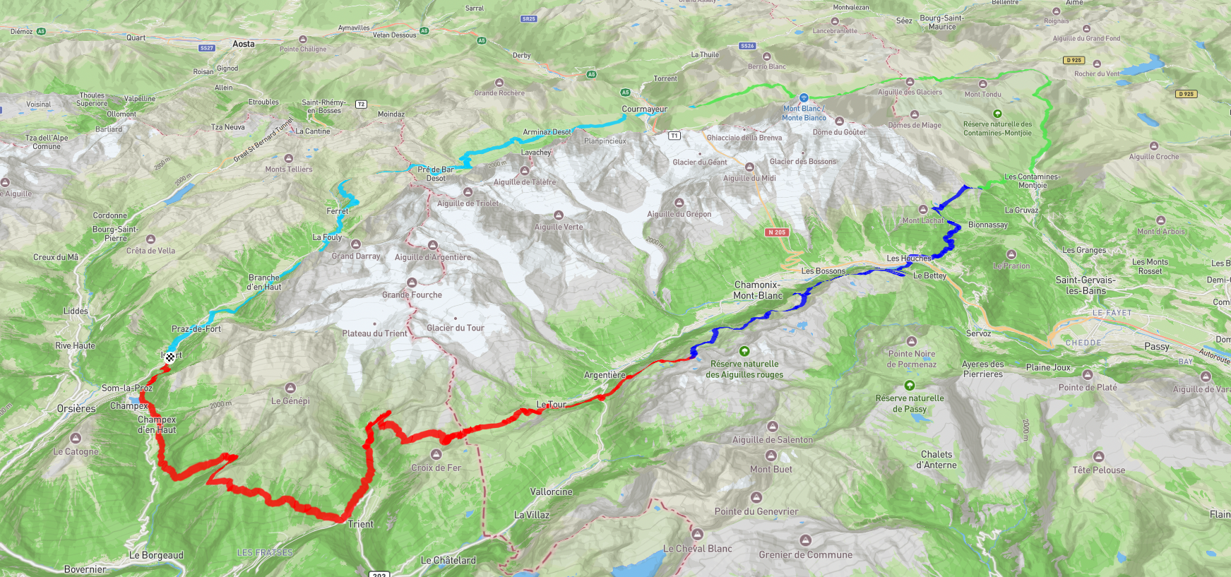
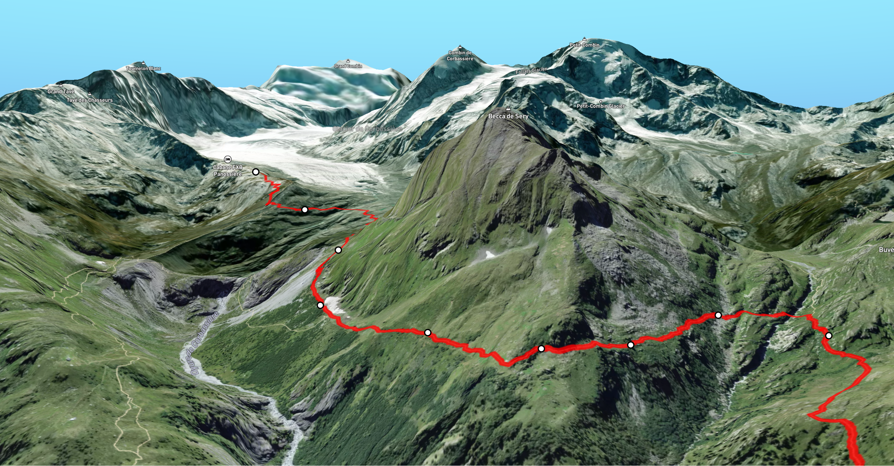
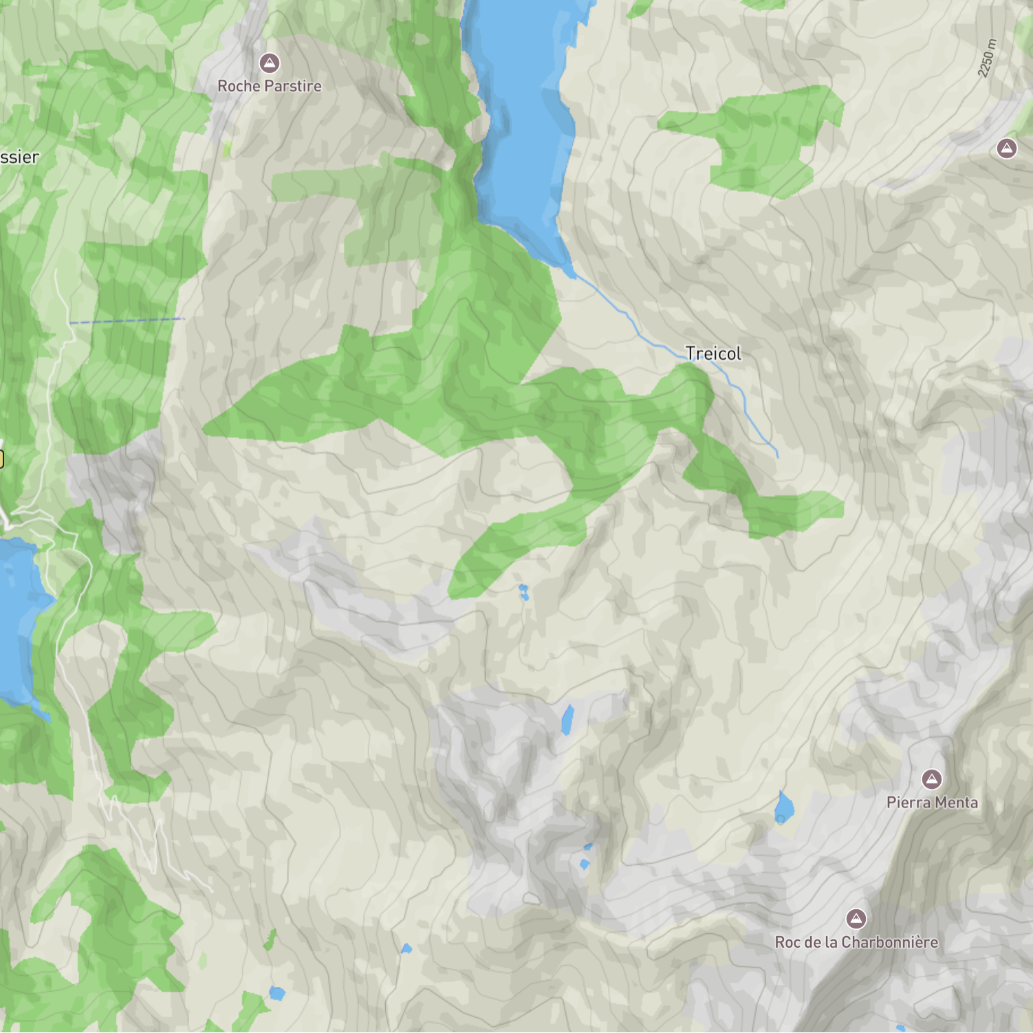
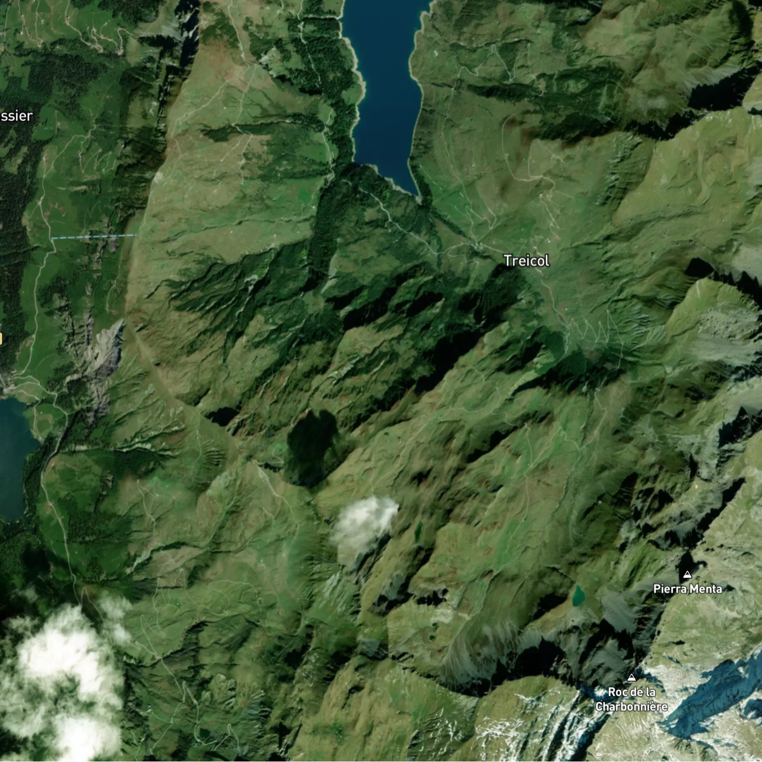
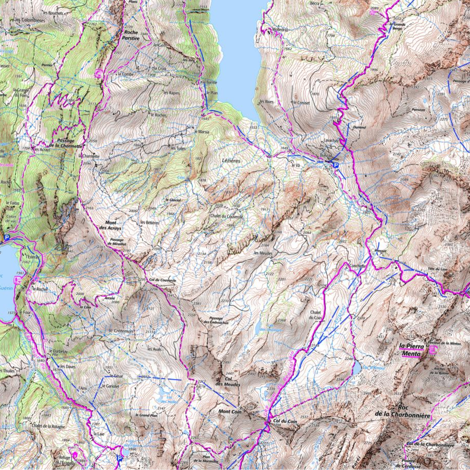
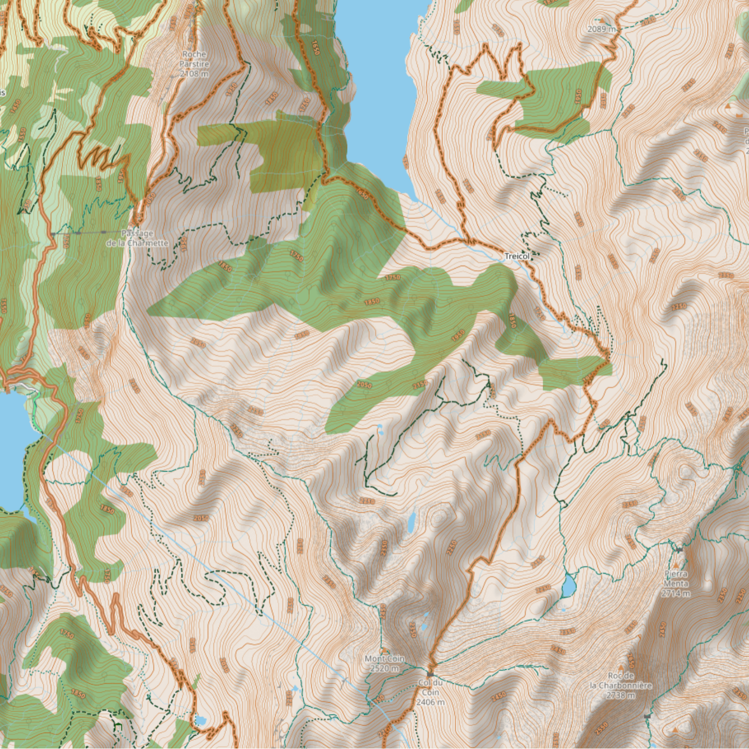
Global and local maps
A large collection of basemaps, overlays and points of interest to help you craft your next outdoor adventure, or visualize your latest achievement.
Data visualization
An interactive elevation profile with detailed statistics to analyze recorded activities and future objectives.
Pricing plan
Choose the plan that suits you best.
Free version
$0/Forever
- ✓ Open 3 files
- ✓ View and edit
- ✗ Export function
Monthly payment
$16/Month
- ✓ Unlimited files
- ✓ View and edit
- ✓ Export function
Recommend
Quarterly payment
$36/Quarter
- ✓ Unlimited files
- ✓ View and edit
- ✓ Export function
Annual payment
$96/Year
- ✓ Unlimited files
- ✓ View and edit
- ✓ Export function
Payments are securely processed by Paddle.